Professional land surveying, engineering surveys, GIS mapping, and topographic solutions in Kenya. Delivering precision and excellence since 2021.
Get In Touch Our ServicesGeotrace surveys and consultants limited is a Kenyan company that specializes in Land Surveying, engineering surveys, cadastral surveys, Topographical surveys, GIS (Geographic Information Systems) and Mapping Solutions.
Established in January 2021 and duly registered under the companies Act of Kenya, our vision is to be the leading company both locally and globally in our line of profession and assist the government of Kenya achieve vision 2030 through provision of employment to our youth and delivering professional services.
Committed to delivering the highest quality in all our services.
Collaborating effectively to achieve the best results for our clients.
Operating with honesty and transparency in all our dealings.

Geotrace
Land subdivision, amalgamation, reparcellation and change of common boundaries. Processing of documents up to acquisition of title deeds.
Gathering horizontal and elevation data presented as contour lines. Essential for construction and planning works.
Surveying services for engineering projects like water supply, irrigation schemes, mines, railroads, bridges, and transmission lines.
Using Geographical Information System (GIS) and remote sensing tools to prepare maps as per client's demand for data analysis.
Partnering with individuals, corporations and governments in coming up with local, sub regional and regional development plans.
Establishing and re-establishing property boundaries for legal documentation and ownership purposes.
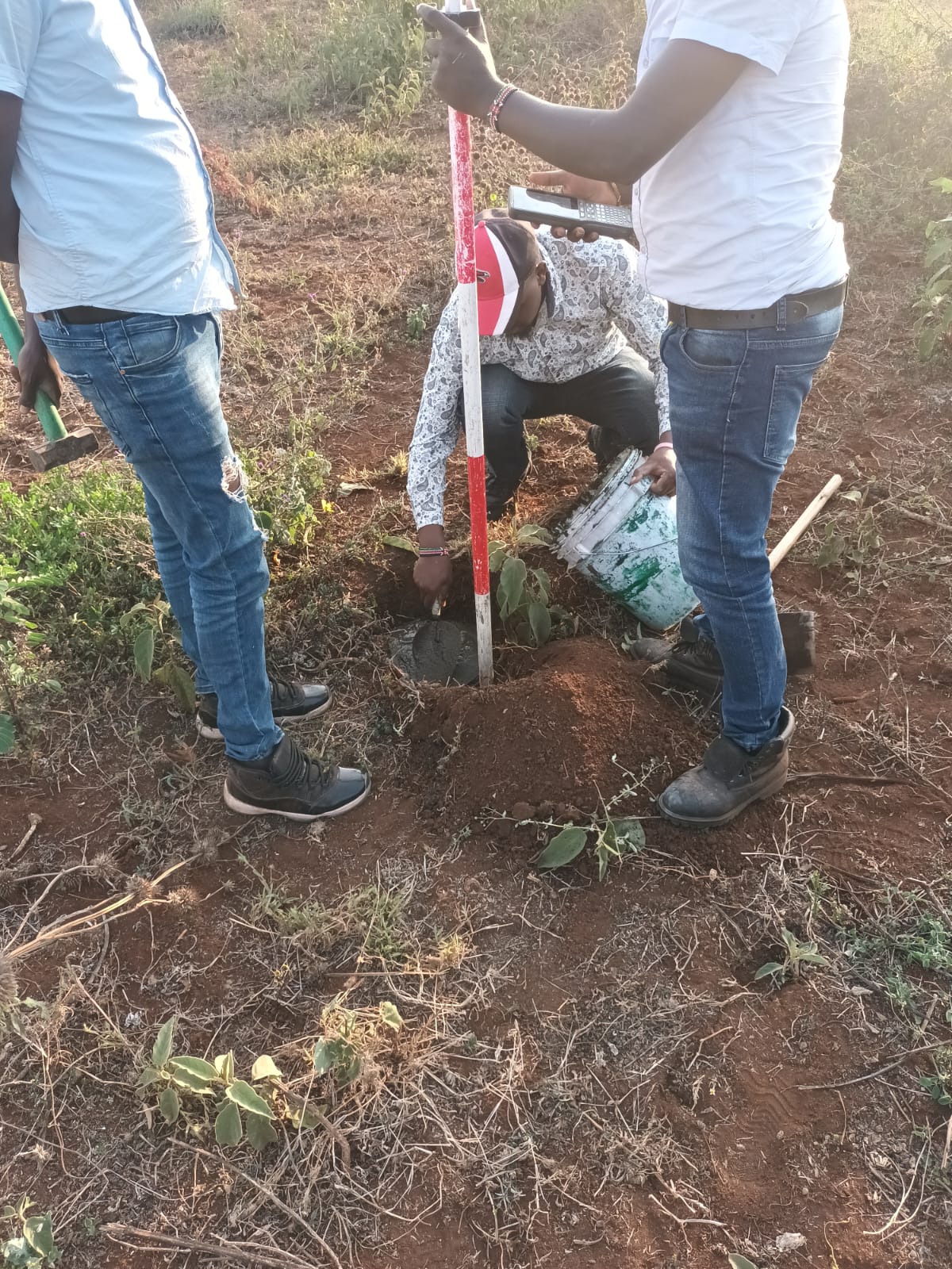
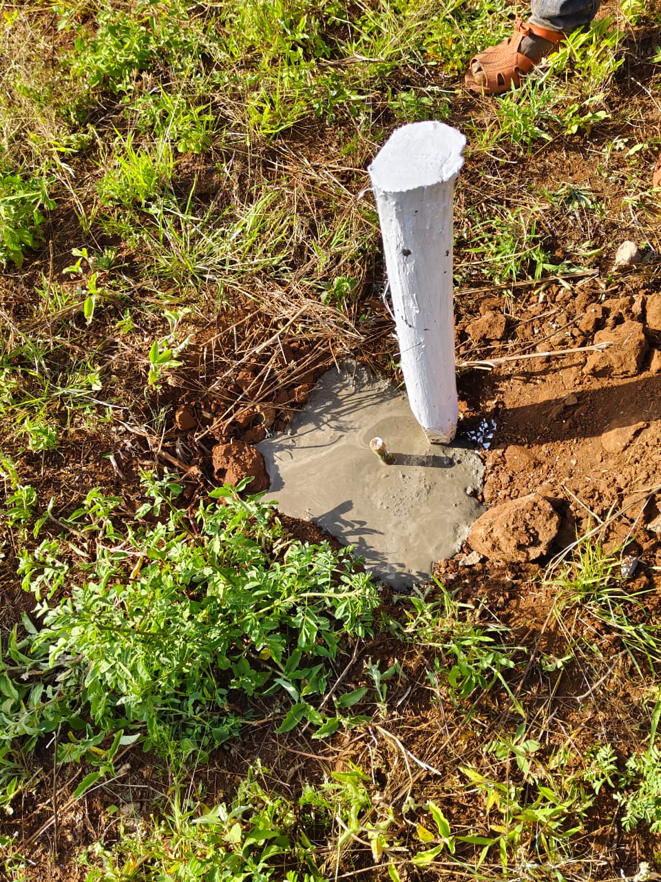
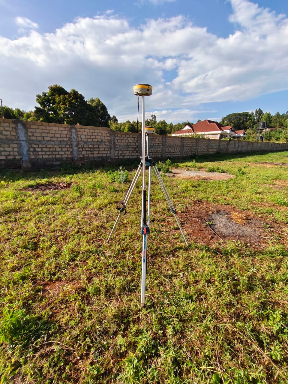
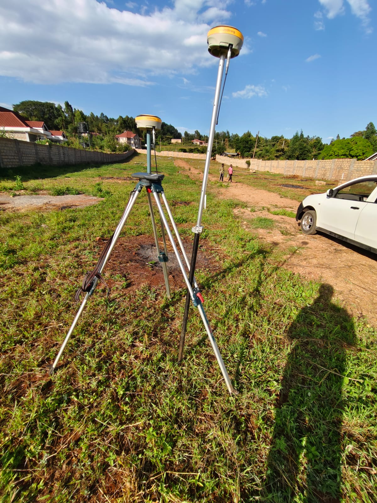
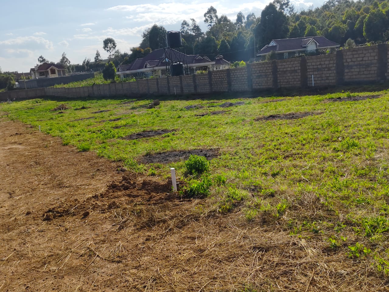
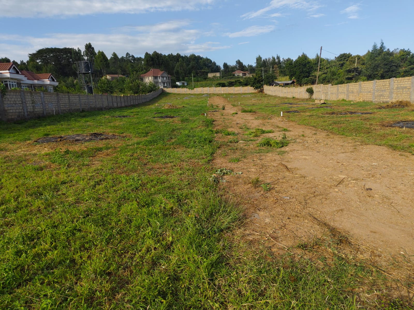
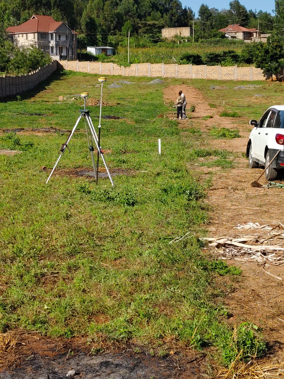
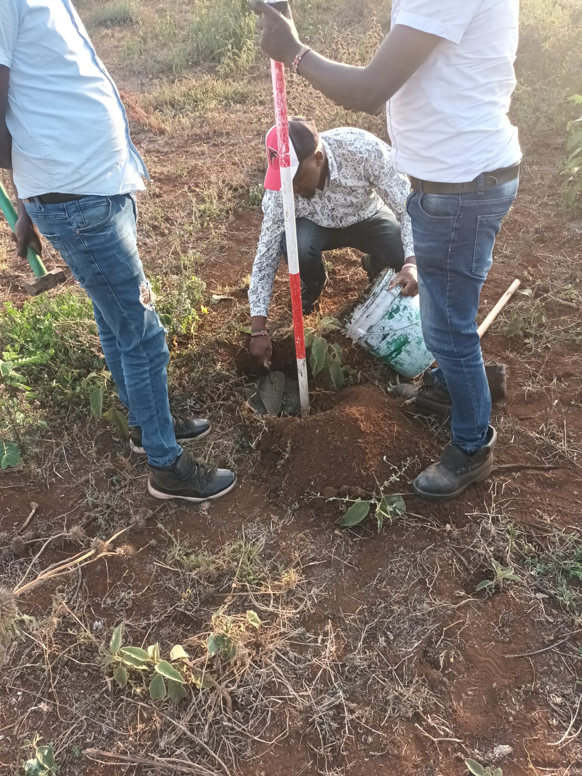
Explore our portfolio of surveying projects and see our team in action across various sites in Kenya.
Add image: /images/gallery/fieldwork-1.jpg
 -->
-->
 -->
-->

Add image: /images/
Add image: /images/gallery/topographic-2.jpg
Add image: /images/gallery/engineering-1.jpg
Add image: /images/gallery/engineering-2.jpg
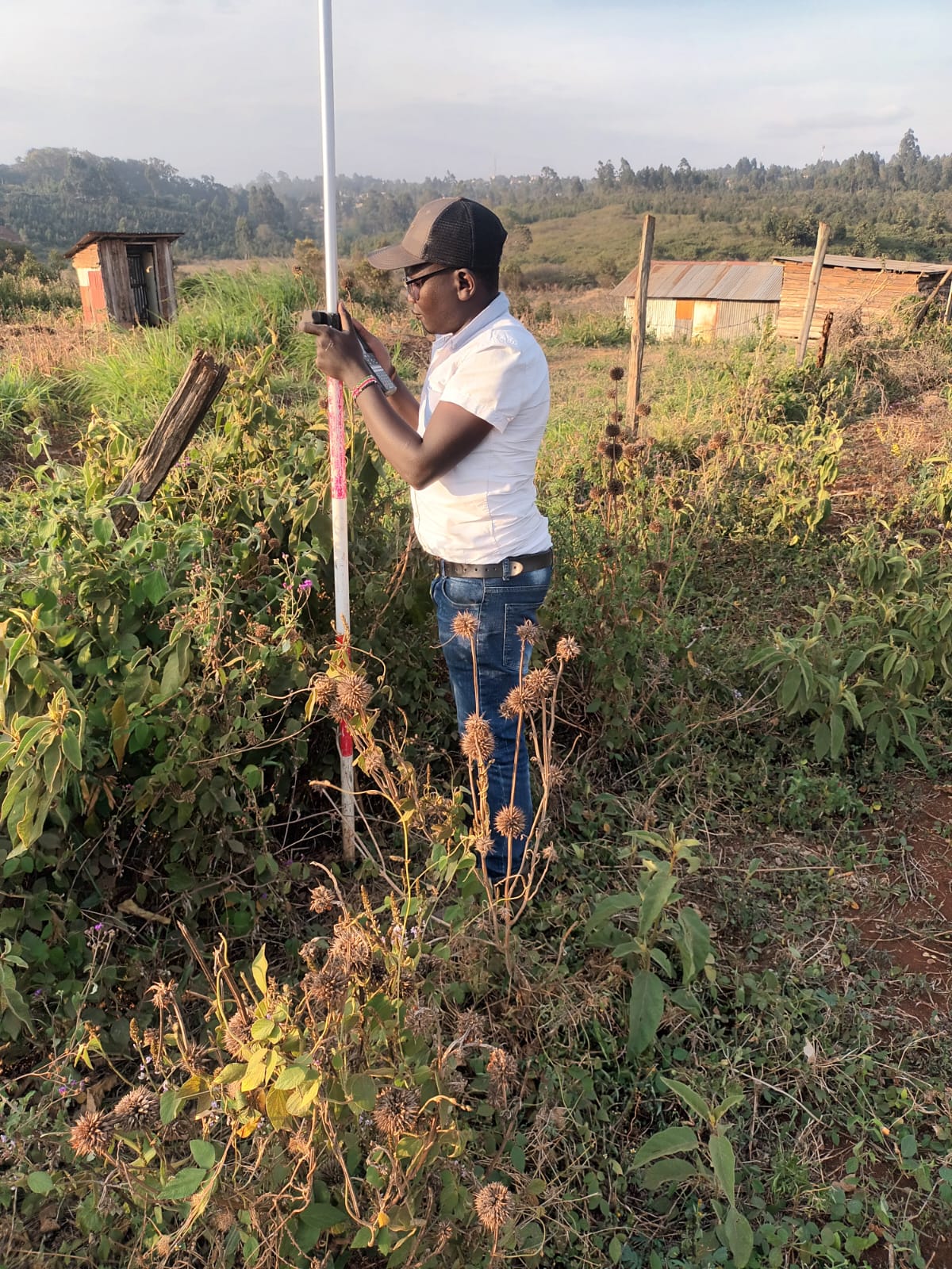
Our team in action across various project sites, demonstrating our commitment to precision and excellence in the field.
Add image: /images/operations/team-collaboration.jpg
Add image: /images/operations/site-measurement.jpg
 -->
-->
Add image: /images/operations/mobile-unit.jpg

Add image: /images/operations/data-verification.jpg
Our team of highly skilled and dedicated staff comprising of surveyors, planners, technician surveyors and support staff have driven our growth over the years. Continuous professional training ensures that our staff are superior in the use of the most modern technologies.
Director
Cell: 0790473504
8 Professional Surveyors
Registered with Land Surveyors Board of Kenya
2 Expert Planners
Specializing in land use and development planning
1 GIS Expert & 1 IT Expert
Advanced mapping and technology solutions
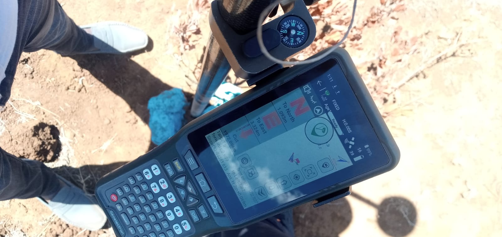
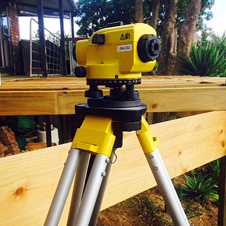
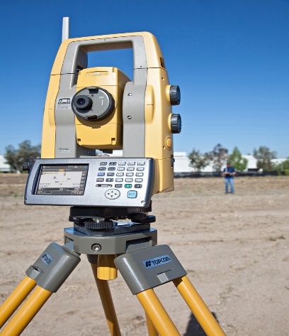
To accurately execute our tasks, we utilize state-of-the-art surveying equipment and technology.
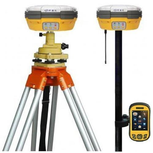
High-precision GPS and GNSS systems for accurate positioning and data collection.
Advanced electronic surveying equipment for measuring angles and distances.
Precise leveling equipment for establishing height differences and elevations.
Advanced software for Geographic Information Systems analysis and mapping.
We are conveniently located 30 minutes' drive from Nairobi CBD in Kikuyu town.
Eureka towers 2nd floor room no:bc03
Kikuyu Town, Nairobi
0790 473 504
0718 835 078
info@geotracesurveys.co.ke
www.geotracesurveys.co.ke